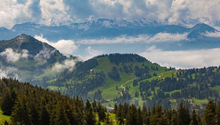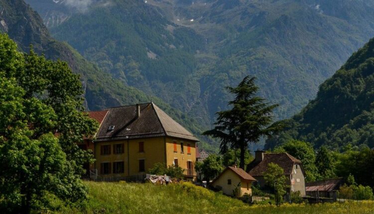
If you’re after an Alpine adventure, the Alpes valaisannes (Pennine Alps) are a great place to explore.
Straddling the Switzerland-Italy border, this mountain range has over 30 peaks over 4,000 metres and covers some of Europe’s most dramatic terrain.
This guide walks you through what makes this region exceptional, from its legendary hiking routes to practical preparation for unpredictable Alpine weather.
Discovering the Pennine Alps and their Alpine character
The Alpes valaisannes represent the second-highest subrange within the entire Alps, with 2,001 named mountains creating a complex landscape.
Located primarily in Switzerland’s canton of Valais (with portions extending into Italy’s Piedmont and Aosta Valley), this region has shaped Alpine culture for centuries.
The mountains are located immediately south of the canton’s capital, Sion, making the high peaks accessible from valley towns within hours.
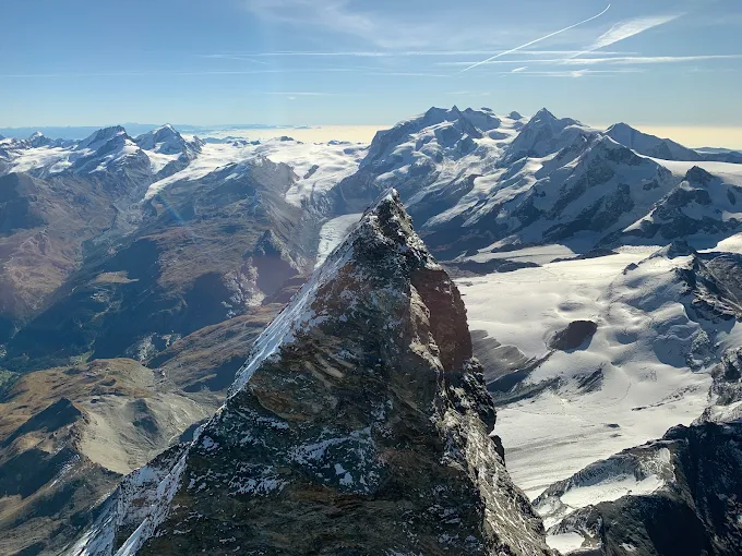
What are the best hiking paths in the Alpes valaisannes
The breadth of Alpes valaisannes hiking options means both experienced Alpine mountaineers and casual walkers find suitable routes.
Valley-level paths take you through larch forests and Alpine meadows, while technical routes go through glaciated terrain requiring proper equipment and experience.
The Val d’Anniviers region alone contains 490 kilometres of marked hiking trails, ranging from gentle waterside strolls to challenging summit bids.
Day-hike options in the Alpes valaisannes
- Five Lakes Walk (Zermatt area): moderate difficulty, 5-6 hours, featuring reflections of the Matterhorn and surrounding peaks
- Gornergrat descent to Riffelberg: accessible by cogwheel train or cable car, then descend through alpine scenery
- Suonen trails (Nendaz): flat walking along historic irrigation channels with valley and mountain views
- Zinal to Sorebois cable car base: moderate walk with wildflower meadows in season
- Findlerweg near Zermatt: scenic Matterhorn panorama from accessible ridge path
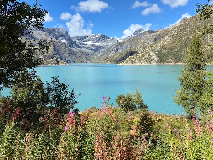
Legendary multi-day Alpine routes you shouldn’t miss
For serious trekkers, the Alpes valaisannes has multi-day experiences ranking among Europe’s finest. The Walker’s Haute Route extends approximately 213 kilometres along the northern flank of the range, requiring strong fitness and Alpine experience.
This route connects mountain huts across high passes, traversing glaciers and exposed ridges.
The Tour of Monte Rosa is 164 kilometres, crossing eight high passes and passing multiple four-thousand-metre peaks. The route typically requires 10-12 days and demands competence with crampons and rope technique when traversing glaciated sections.
The final section of the Tour du Mont Blanc passes through the Alpes valaisannes, descending from the Col de Balme toward Champex-Lac with direct views of Mont Blanc’s north face.
The iconic peaks and panoramic views of Valais
The Dom, rising 4,546 metres between Randa and Saas-Fee, dominates the central Alpes valaisannes landscape.
Photography throughout the Alpes valaisannes is popular. Morning illumination is best for east-facing peaks, afternoon light favours western slopes, and twilight is a beloved time for all photographers.
Many Alpine huts offer accessible viewing locations without requiring mountaineering expertise.
Understanding Alpine weather: preparation and timing
Alpine weather in the Alpes valaisannes changes quickly. Clear mornings can change into afternoon thunderstorms, and visibility that seems assured evaporates within minutes.
The region’s high altitude and proximity to glaciated terrain mean weather patterns differ significantly from valley conditions.
Temperature ranges and seasonal timing
| Season | Valley temperature | Alpine elevation (3000m) | Conditions |
|---|---|---|---|
| June | 18-22°C | -5 to 0°C | Significant snow at altitude; only lower routes fully clear |
| July-August | 22-26°C | 2-8°C | Most high routes open; most stable conditions |
| September | 18-22°C | -2 to 3°C | Most routes open; weather becoming less stable |
| October | 12-15°C | -8 to -3°C | First significant snow appears; only valley paths safe |
Essential weather preparation for the Alpes valaisannes
- Carry waterproof jacket and trousers even when forecast predicts clear skies
- Start early (before 7 am) to descend by afternoon when thunderstorm probability peaks
- Monitor weather forecasts daily; abandon trips if conditions deteriorate
- Pack insulating layers: temperatures drop approximately 1°C per 100 metres elevation gain
- Wear sunscreen and sunglasses: high-altitude UV radiation burns rapidly
- Carry a headtorch: unexpected weather may require descending after dark
What you need to plan your Alpes valaisannes adventure
Preparing for the Alpes valaisannes requires attention to detail. Planning ahead of time will save you a lot of stress during your trip.
Luckily, the region has sophisticated guides, excellent maps, numerous huts, and reliable transport, but Alpine conditions remain unforgiving for unprepared visitors.
When to visit
July and August are the peak season but have the highest confidence in open routes and stable weather. June might still have snow at higher altitudes but has fewer crowds and excellent light.
September is a happy medium with most routes remaining open, weather is generally cooperative, and crowds diminish noticeably.
October onwards is a bit of a gamble due to cold weather. We suggest only lower-altitude paths.
Where to base yourself
Zermatt sits at the eastern end of the range, providing access to Matterhorn-region routes and multiple peaks via the Zinal valley.
The Nendaz area provides central access to numerous routes and connects to the 4 Vallées ski region (Verbier, Veysonnaz, Thyon, La Tzoumaz). Saas-Fee serves the Saas Valley, renowned for glacier access and straightforward high-altitude paths.
Veysonnaz offers quieter valley access with mountain infrastructure supporting multi-day trekking.
Equipment checklist
- Proper Alpine hiking boots with ankle support (essential for rocky terrain)
- Weatherproof jacket and trousers (non-negotiable even in summer)
- Insulating layers: fleece or wool mid-layer, thermal base layer
- Hat and gloves for high elevations (even July can bring freezing conditions)
- Sunscreen minimum SPF 30+ and sun-protective sunglasses
- Crampons and ice axe (for June/September routes; July/August may not require them)
- Detailed 1:25,000 scale map and compass (GPS useful but not sufficient alone)
- Water bottle minimum 2-litre capacity (refill at huts)
- Emergency shelter and first aid kit
- Headtorch with spare batteries
The Alpes valaisannes demand preparation and respect, but the reward it toally worth it!
To make the most of your trip, comfortable accommodation and reliable access become essential. That’s where Alpvision Residences helps.
We provide thoughtfully positioned properties throughout the region, with locations in Nendaz, Veysonnaz, and other Valais villages putting you within easy reach of hiking trailheads, mountain huts, and essential Alpine infrastructure.
Discover the Alpes valaisannes and experience why these mountains remain among Europe’s most compelling destinations. Browse our available Valais accommodation and book your Alpine adventure today.