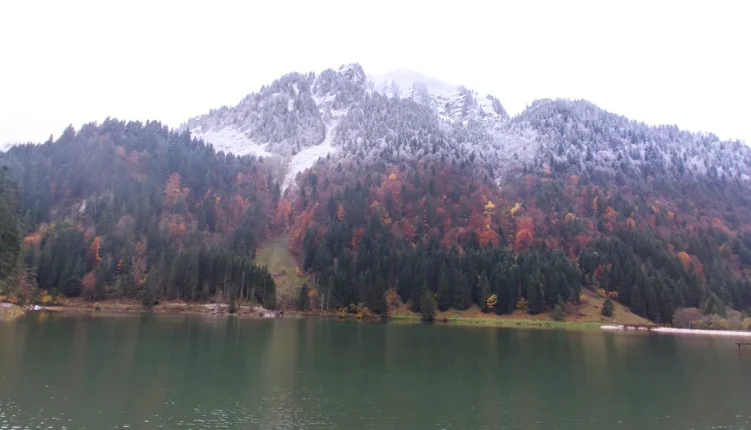
Five kilometres above the village of Abondance, at the end of a quiet mountain road, you’ll find the largest lake in the Vallée d’Abondance.
Lac des Plagnes Abondance is easy to reach, free to visit and surrounded by alpine pastures.
This guide explains how the lake formed, what to do there, which walks are worth your time, and how to get there without a parking headache.
What is Lac des Plagnes Abondance and why go?
Le Lac des Plagnes is in the commune of Abondance in Haute-Savoie, deep in the French Chablais and just a few kilometres from the Swiss border.
You’ll sometimes see it written as Lac de Plagnes on maps and booking sites, but it’s the same place. It’s a protected Sensitive Natural Area and part of the UNESCO Chablais Geopark, and around 35,000 people come here every year.
| Pros | Cons |
|---|---|
| Reachable by car, with a flat walk around the lake | The car park fills fast on summer weekends |
| Picnic tables, benches and two restaurants nearby | Swimming isn’t authorised |
| Trailhead for several classic Chablais hikes | Part of the lakeside path is closed in winter because of avalanche risk |
| Good fishing in season | No public transport goes all the way to the lake |
How did Le Lac des Plagnes form? Geology and history
Between roughly 75,000 and 20,000 years ago, glaciers carved out the Vallée d’Abondance. The Ardens glacier came down from the Chavache ridge, dragging rock and boulders. As it melted, it left moraine deposits that held back two lakes, Lac des Plagnes and Lac de Cubourré.
Over thousands of years, sediment slowly filled both basins. Cubourré turned into a wetland and peat bog, and the lower lake is now an artificial lake, topped up by a waterfall from Cubourré.
For centuries, Abondance cows have grazed the pastures around the lake, and they’re the breed that gives the valley its famous cheese.
The village’s abbey goes back to the 11th century, and as you climb the higher paths, the chalets, chapels and oratories along the way show just how long local families have farmed this land. The lake is one small part of the Massif du Chablais, which runs from Lake Geneva to the Swiss border.
What can you do and see at Lac des Plagnes Abondance?
Of course, most people come for a walk and a picnic, but in reality there’s plenty more to keep you busy.
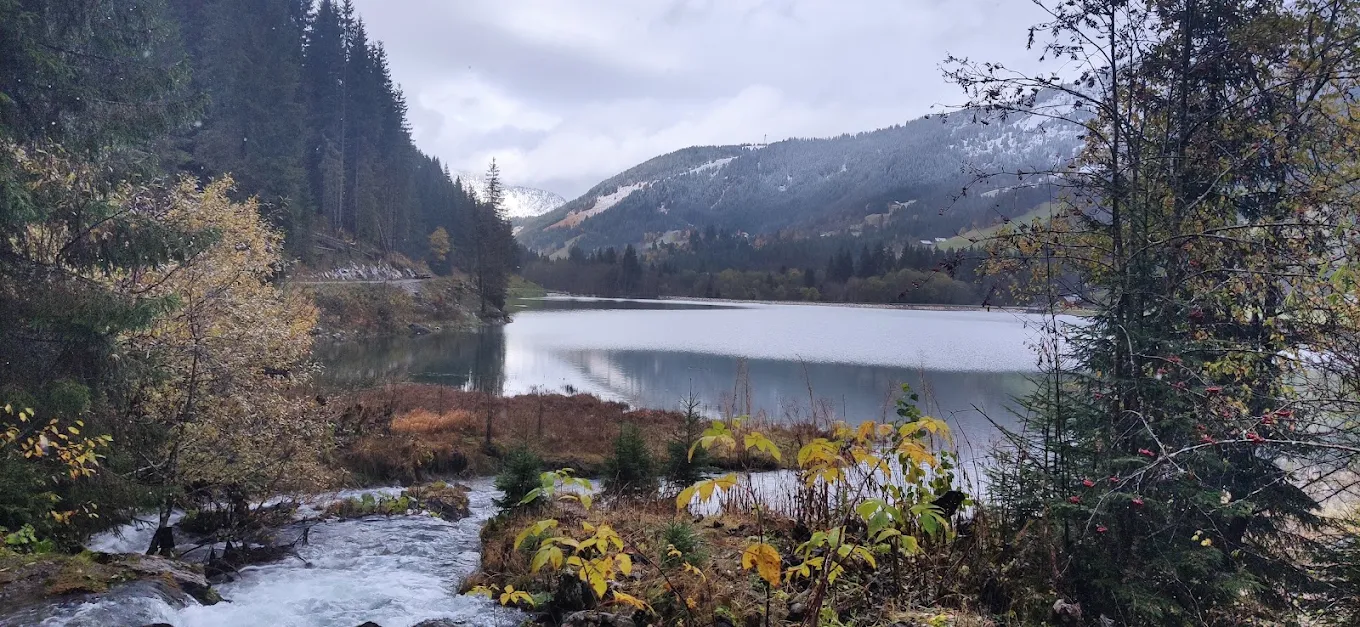
- Walk the lakeside interpretation trail: an easy loop of about 45 minutes, with panels on geology, climate and local wildlife
- Go fishing: the lake has brown trout, rainbow trout, perch, tench and rudd. The season usually runs from the first Saturday in June to early October, and you can buy permits at the local tourist offices
- Look for wildlife: slender cottongrass, marsh helleborine and orchids grow in the wetland, and you may spot common frogs, dragonflies and bats
- Cycle: a cycle path around the lake opened in March 2024
- Eat locally: Restaurant Cœur des Plagnes sits in a small chalet on the shore, and Bar Restaurant du Lac Chez Rémy is close by
- Snowshoe in winter: routes head up from the lake towards the Col de Bassachaux
A few rules keep the site protected:
Dogs must stay on a lead at all times, and campfires aren’t allowed either; on top of that, protected plants must not be picked, and campervans also can’t park overnight. Swimming isn’t authorised either, so save your swim for the outdoor pool and leisure spots that make Châtel in summer so popular.
Best walks and hikes around Lac de Plagnes
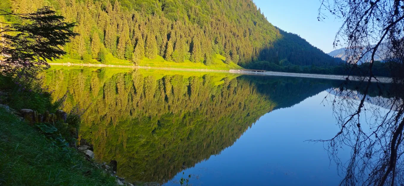
The car park, at about 1,205 m, is the starting point for walks of every level.
| Route | Time | Distance/climb | Level |
|---|---|---|---|
| Tour du Lac des Plagnes | About 45 minutes | Mostly flat | Easy |
| Refuge des Tindérêts (about 1,500 m) | About 1 hour up | Steady climb | Easy to moderate |
| Boucle des Plagnes via Lenlevay | About 5 hours | 11.9 km, +800 m | Moderate |
| Tour de la Pointe d’Ardens (1,959 m) | Most of a day | Via the Chalets d’Ardens | Sporty |
| Loop via Lac de Tavaneuse (1,805 m) | About 5½ hours | Two lakes, alpine pastures | Experienced hikers |
For summer mountain holidays with your family, the lake loop and the hour up to the Tindérêts refuge are the realistic options with young children. The refuge serves light meals and drinks, which makes a good reason to keep little legs moving.
Hiking checklist
- Arrive before 9 am in July and August to get a parking space
- Bring water, as there are few refill points above the lake
- Pack a warm layer, because it’s cooler at 1,200 m than in the valley
- Wear sun cream and a hat on the open pastures
- Download a map such as IGN TOP 25 3528 ET
- Check snow and path conditions with the tourist office in spring and autumn
- Close gates behind you and keep dogs away from the cattle
Most of the marked routes are maintained from June to mid-October, and the lake loop is open from May to November. If you’re still choosing dates, it helps to know the best time to go to the mountains in summer before you book.
How to get to Lac des Plagnes Abondance
From the village centre, take the D22 and follow signs for Sur Fontaine and Les Plagnes. The lake is about 5 km away, under 10 minutes by car, and the road ends at the car park. Snow equipment is required on this road in winter.
- By car from Geneva: about 70 km to Abondance village, usually around 1 hour 15 minutes
- By train: take the Léman Express or a TER train to Thonon-les-Bains, then a bus up the valley to Abondance
- From Châtel: about 15 minutes by car down the valley, which makes it an easy half-day trip if you’re staying in Châtel
- On foot or by bike: a 5 km climb from Abondance, mostly on quiet roads
Stay near Le Lac des Plagnes with Alpvision Residences
Lac des Plagnes Abondance is the kind of place you’ll want to visit again and again.
Fortunately, Alpvision Residences offers chalets and apartments in both Abondance and Châtel, so the lake, the abbey, and the Portes du Soleil trails are all a short drive away. Don’t wait! Book your mountain holiday today.